Monitoring biodiversity
Implementation of monitoring programmes. Statistics, field work programmes, research on long term applied ecology. Monitoring of the infrastructure impact “ex ante – ex post” on wildlife, plants and habitats.
Management Plan Natura 2000 Network
Ecological investigation and reporting.
Bio-Monitoring
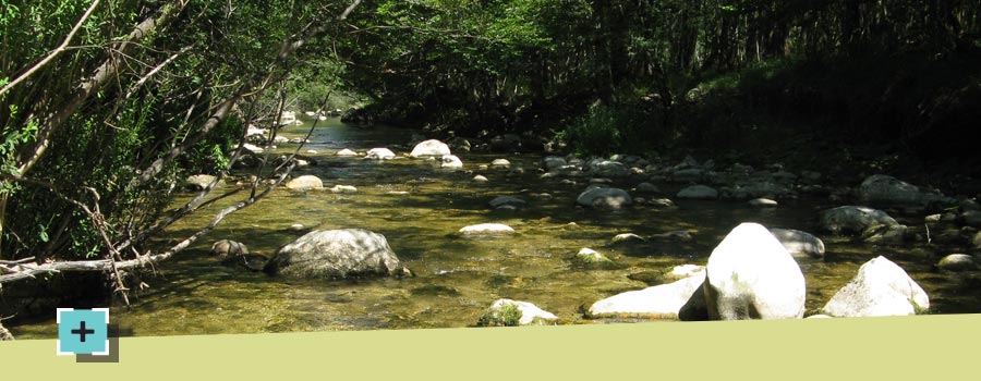
Inland water quality assessment via monitoring of the structure of the benthic macro invertebrates community (STAR_ICMi index, ex IBE). River functionality monitoring.
Courses
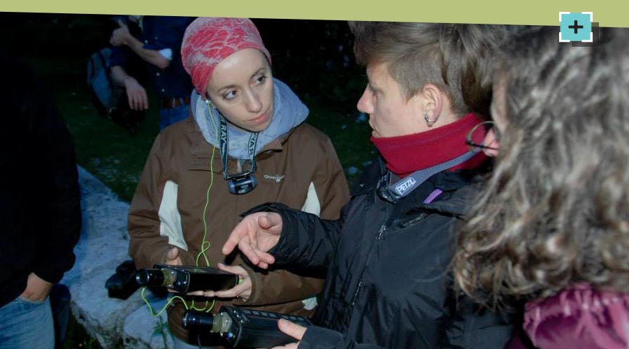
GIS courses (e.g. ArcMap or QGIS), statistics courses (e.g. R, Matlab, STATA). Courses on bio-acoustic data collection and analysis. Education projects and laboratories for primary and high schools. Scientific divulgation. Ecoturism.
Research and Conservation Projects
National and international development of research and conservation projects.
EIA
Surveys design, data collection, data analysis and reporting.
RISK MAPS
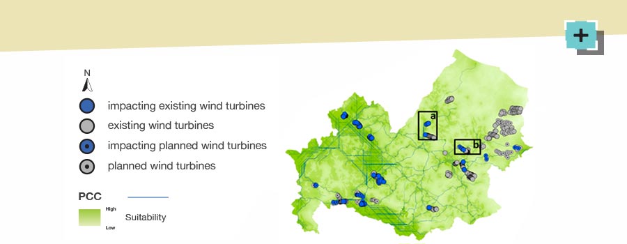
The risk maps, highly refined environmental modelling products, allow to spatially represent the risk areas for habitats, animal and plant species in relation to infrastructure development.
ECOTURISM
Development of ecotourism activities. National and international guidelines editing.

